| The Tarren Ridge |
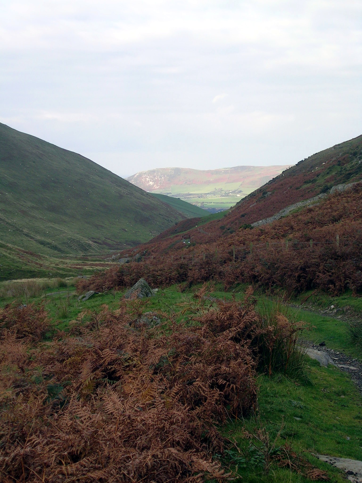
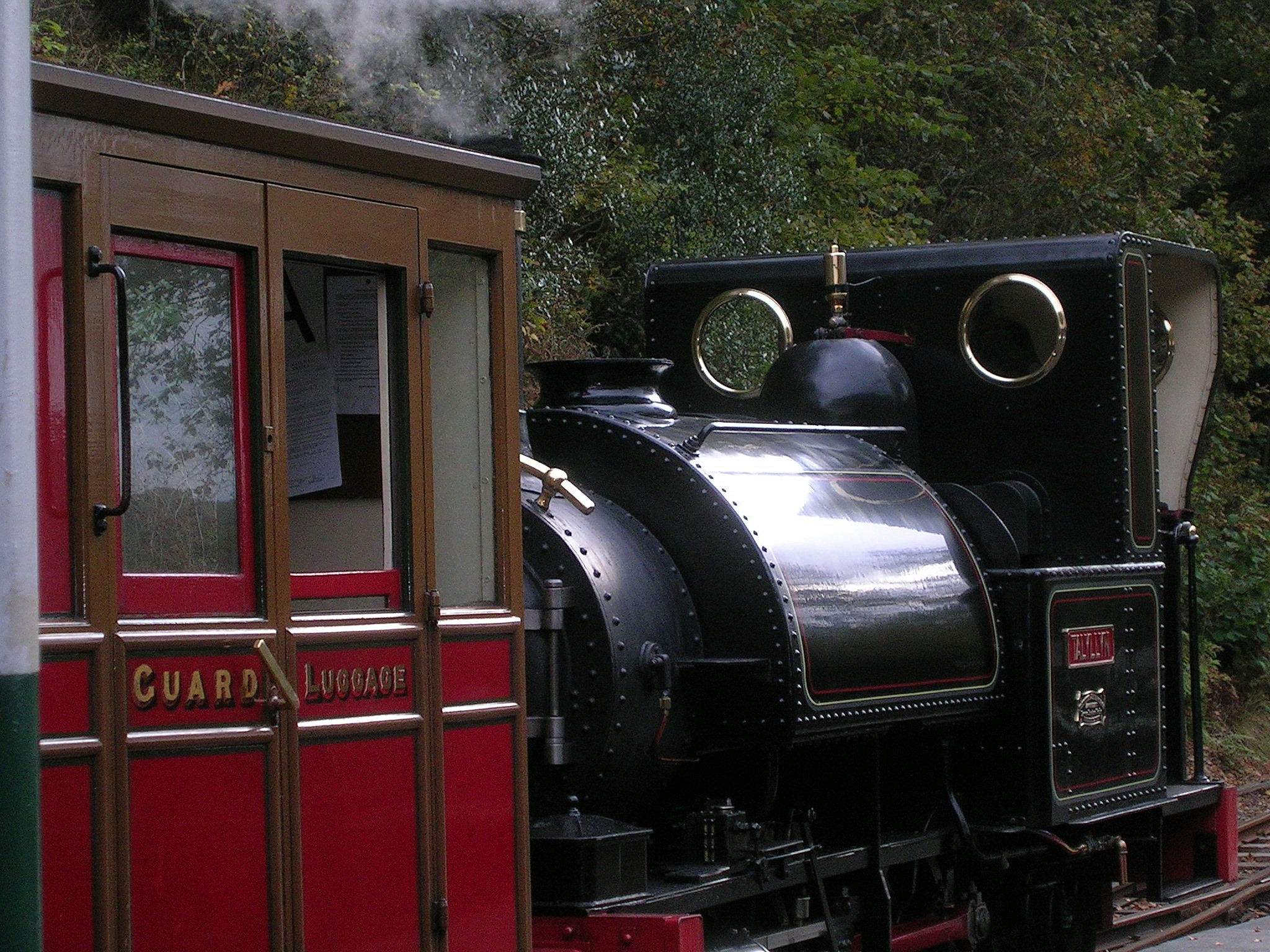
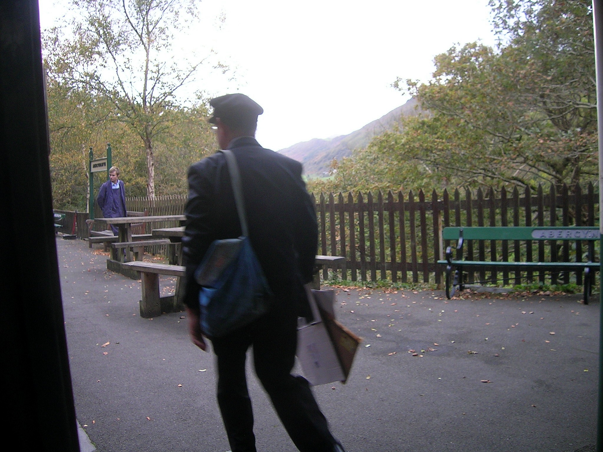
Totally fabulous walk! High-light of my week's walking in Wales in October 2009. 10.9 miles, 4,200ft, fabulous views, interesting geocaches, and an interesting target: to catch the last train back (Tal-y-Llyn railway) from Abergynolwyn back to the Rhyd-yr-onen station. I've been coming to this area for the last 45 years, and had never heard of the Tarren Ridge before. I shall be back. Just to give you an idea of how little visited this is ... I only blogged about it a week ago, and if you Google "Tarren Ridge", my blog entry is on the first page! If only my business could do so well. Park on the red circle below. There's a sign on the gate to the station that has a picture of a car with a line through it ... I took that to mean don't take your car through the gate into the station, or block access (and there's room to park without blocking access). Follow the path up the valley to the finger post (here on the map), then follow the Allt Gwyddgwion, up to Trum Gelli. The rest of the walk doesn't really take much navigating; just follow your nose. When you get to the top of Tarrenhendre, turn right and follow the fence down hill (it's steep), and follow the fence to the ladder style. When we got to the quarry we turned left and followed the mountain track down to Abergynolwyn station. The train stops there for 20 minutes, so you have a greate chance of catching it there than at Nant Gwernol! There's a Google Books entry on the Tarrens which is quite interesting. Having read it, I'm putting the two volumes by Peter Hermon on my Xmas present list! (This is where I get to see if my family read my website!)
|

|
See other pictures of the Tarrens here.
To download GPX Files, right-click the link, choose Save Link As ..., and save it to wherever you keep route files.
See the documentation that came with your GPS for information on how to download the route to your GPS.
These are a selection of Ordnance Survey Maps that cover this walk.
Geocaches on route
Blog
Pictures